Waterfalling – waterfall hunting and waterfall hiking is hiking with the purpose of finding and enjoying waterfalls
Waterfall Hiking in West Tien Shan
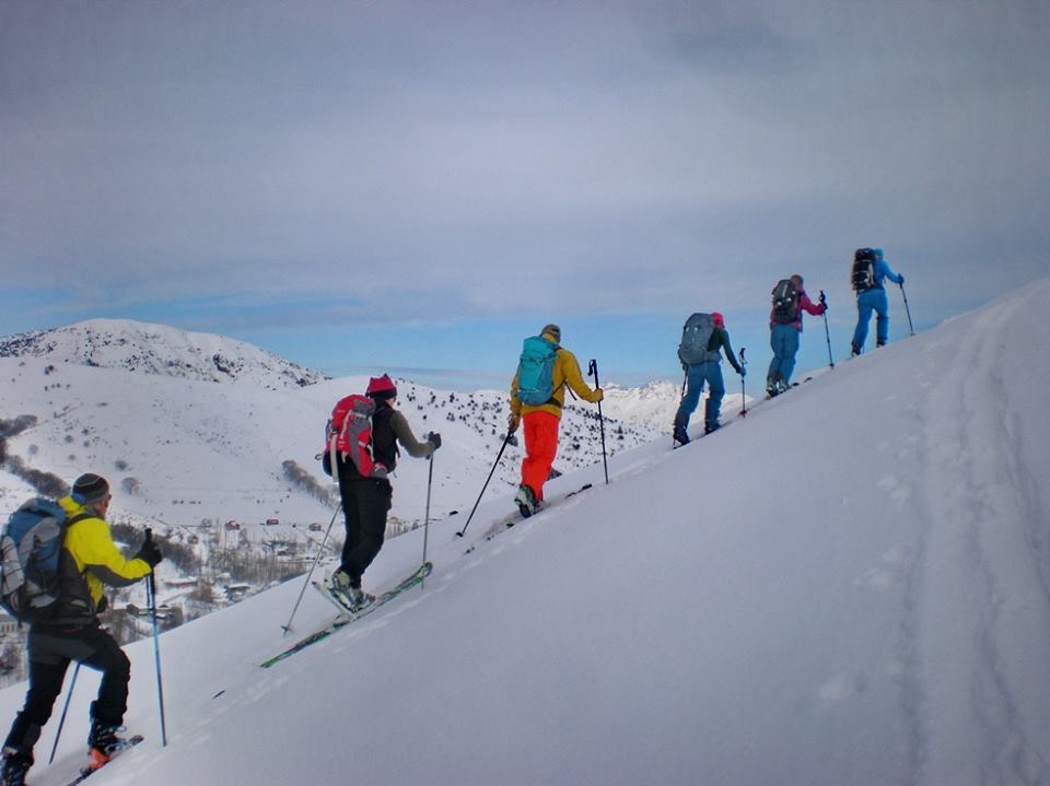
Option 1. Driving from Tashkent through the Galvasay village to the recreation zone “Chimgan” at the foothill of the Chatkal range in the West Tien Shan (100 km, 1,5 hours, 1,300 m). Going up by a good path to the Pesochniy pass (1,832 m). Descending to the gorge of the Gulkamsay river. After rest in the birch grove go through one of the most beautiful places in the mountains of Uzbekistan – the Gulkam canyon. Canyoning. Rock chap at times converging up to 5 m having numerous small waterfalls, baths, rock gorges and with frequent wades can be walked through in 2 hours. After the rest, climb up the Kuiluksay River up to the waterfall, then go down the Gulkamsay River to the water intake near the country road. Departure by car to Tashkent along the Charvak water reservoir. Majestic panorama of Ugam, Pskem and Koksu ranges of the West Tien Shan surrounding Charvak water reservoir opens up from the road. See the map …
Option 2. Driving from Tashkent through the Galvasay village to the recreation zone “Chimgan” at the foothill of the Chatkal range in the West Tien Shan (100 km, 1,5 hours, 1,300 m). Going up by a good path to the Pesochniy pass (1,832 m). Descending to the gorge of the Gulkamsay river. After rest in the birch grove go through one of the most beautiful places in the mountains of Uzbekistan – the Gulkam canyon. Canyoning. After rest – climb back to the Pesochniy pass (1,832 m), then ascent to the Smaller Chimgan Peak (2,100 m). Majestic panorama of Ugam, Pskem and Koksu ranges of the West Tien Shan surrounding Charvak water reservoir opens up from this peak. Descent to Chimgan. Departure by car to Tashkent along the coast of Charvak water reservoir.
Option 3. Marble river. Extreme Attention! This extreme program comes with risks. In addition, it requires good health and certain physical fitness of the participants. All participants are required to have insurance. At the discretion of the guide, any of the participants may not be allowed to the extreme part of this route.
On the Marble River from Chimgan, you first need to go along the road that rises to the Melovaya pass. Then we go to the mountain complex SURPA. We turn left and go, first along the road, then along the path down. We go straight down to the river, turn left and go up the riverbed. At first the path goes gently, then the bed of the Marble River begins to climb up the outcrop of the marble layers.

There are many real marble bathtubs and jacuzzis, which look very inviting for travelers weary from the heat of the day. Along the banks of the Marble River there are many fossilized shells that have well preserved their shape.
We go back along the same road, but, having reached the place of descent, which remains on the right, we go straight along the riverbed and quickly come to a place where the river breaks into gorges. Descent into the gorge from above is possible only with the use of climbing methods of belay. This is what we are going to do.
Ropes will be used to continue the program. The descent to the waterfall will be carried out along them using a descender. The place is very picturesque. In the warm season, you can refresh yourself under the waterfall.
The ascent is also carried out on a rope using the ascender device.
Having finished the program in the gorge, you can return the same way, but the ascent to the road is quite steep. It is better to go down the bed of the Marble River to the road leading to the Beldersay
resort. A car may be waiting for you there.
Price for one day of all routes hiking program
1pax – U$ 80
2pax – U$ 45
3pax – U$ 35
4pax – U$ 30
Mountain Guide included, Mountain gear included. Local transportation isn’t included.

Mountains, Photo & Sightseeng in Uzbekistan. Sketch itinerary
Contact information
https://t.me/ClimberCA – telegram
WhatsApp / Viber +7966 065-53-44
e-mail – your@climberca.com
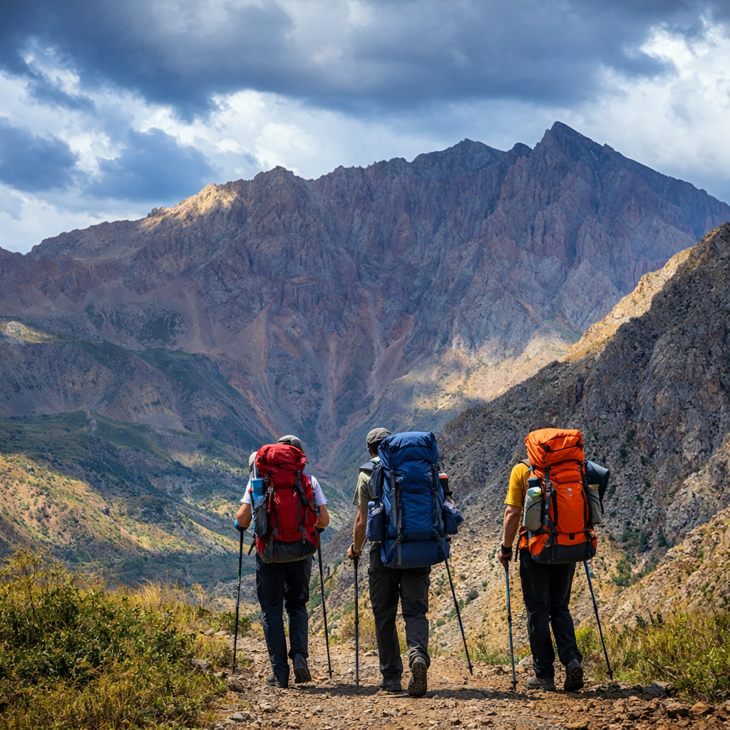
Chimgan-Beldersay is the most famous natural area in Uzbekistan, which is located in the mountains of Western Tien-Shan (90 km far from Tashkent). Chimgan in the best way approaches for photo leisure with families and children, Beldersay is more appropriate for hiking and trekking with your cameras. The most interesting areas for touring are situated between 2000-2500 m.
Sketch itinerary 2023
Day 01. Arrival in Tashkent. Meeting at the airport, transfer in Chimgan. Arrangements with an accommodation. If the time allows – walking tour around Chimgan Resort area.
Day 02. Early in a morning an ascent to the Western Ridge of Chimgan 2350 m. Majestic panorama of Ugam, Pskem and Koksu ranges of the West Tien Shan surrounding Charvak water reservoir opens up from this point. Descent to Chimgan. Return to hotel.
Day 03. Transfer in Amirsoy mountain resort. Ascent to the highest point (2275 m.) with the gondola lift. Descent is carried out through smoothed relief (steepness up to 30 degrees) without deep gorges and canyons. Archa and the deciduous woods grow on slopes alternating with open glades. Return to hotel in Chimgan.
Day 04. Going up by a good path to the Pesochniy pass (1,832 m). Descending to the gorge of the Gulkamsay river. After rest in the birch grove go through one of the most beautiful places in the mountains of Uzbekistan – the Gulkam canyon. Canyoning. After rest – climb back to the Pesochniy pass (1,832 m), then ascent to the Smaller Chimgan Peak (2,100 m). Panorama of Ugam, Pskem and Koksu ranges. Descent to Chimgan. Return back to hotel.
Day 05. Early morning pilgrimage to Kyzyl-Jar peak (1,866 m), for a spectacular sunrise over the Greater Chimgan 3309 m. Descent to Chimgan. Walk through the Ak-Sai gorge. Return to hotel.
Day 06. Departure by car to Tashkent along the Charvak artificial lake. The road goes around the lake through the Brichmulla-Nanai area, which incorporates villages, situated in the south-east of the Charvak water reservoir at 960 m. You vill have a look Brichmulla and other villages in the area: Yakkatut, Yanghikurgan, Yusufhona, Yubileiniy, Baladala, Bogustan, and Nanai people. A great majority of population are ethnic tajiks. We will finish our excursion in Khodjikent, place of ancient market with ancient platans and rock paintings. Arrive to Tashkent train station. Leave for Bukhara by the night train.
Day 07.
07.00 Meeting at the Kagan train station. Transfer to
Bukhara. A breakfast in hotel;
09.00 Excursion across Bukhara;
19.00 Transfer to train station;
20.50 Train to Samarkand.
Day 08.
01.40 Arrival in Samarkand. A meeting at train station,
transfer to hotel.
10.00. Excursion across Samarkand.
17.30. Transfer to the train station.
18.00 Train to Tashkent.
20.00 Arrival in Tashkent, meeting at train station, transfer in the airport.
End of the program
The cost includes:
All meetings, seeng-offs and transfers on a route.
Service of a professional guide.
Accommodation in guest house in Chimgan (or hotel on your
choice). Registration.
Railway tickets for a train (compartment) Tashkent – Bukhara,
Bukhara – Samarkand.
Railway tickets for «Аfrosiab» train Samarkand – Tashkent.
Service of guides in Samarkand and Bukhara.
Car with the driver during excursion in Samarkand.
Breakfast in Bukhara and Samarkand (and in Chimgan at place
of residence).
The cost does not include:
A food in Chimgan and in the cities.
Lift charge in Chimgan and Beldersay.
Entrance tickets for excursion objects in Samarkand and
Bukhara.
Price.
2 pax:
550 USD – accommodation in guest house.
630 USD – accommodation in hotel (Standard room).
3 pax:
455 USD – accommodation in guest house.
635 USD – accommodation in hotel (Junior suite room).
4 pax:
485 USD – accommodation in guest house.
600 USD – accommodation in hotel (Standard room).
Uzbekistan Mountains near to Tashkent
Chimgan Mountains
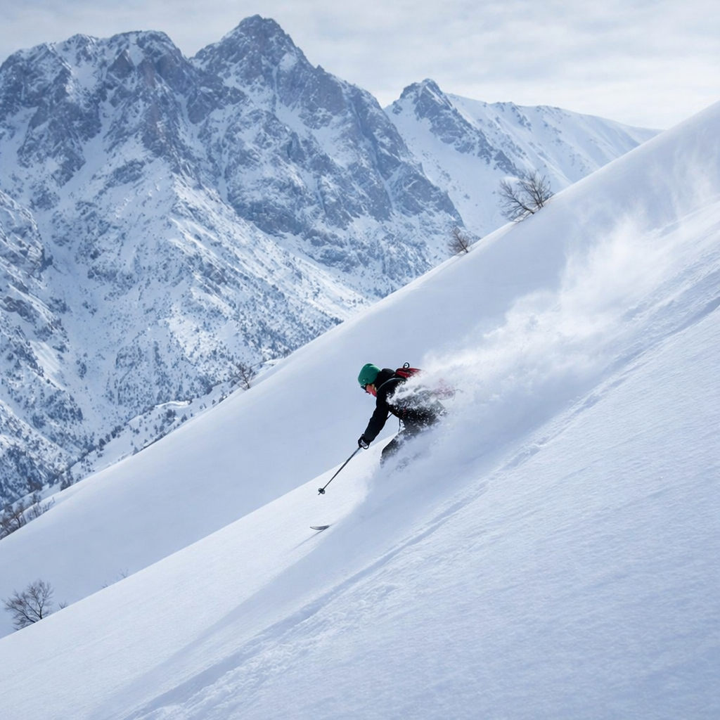
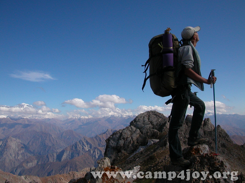
The Chimgan Mountains are invariably attractive for mountaineers. The wide variety of Chimgan and its surroundings allows the activity in all kinds of mountaineering and landscape tourism. Mountains (Small and Greater Chimgan Peaks – 3,309 m) of Chatkal range, plateaus, the Black Waterfall (40 m) at the lower part of Greater Chimgan Peak, Gulkam waterfalls, attract a lot of tourists from Uzbekistan and abroad.

Chimgan landscape photographs
West Tien-Shan Mountains Map